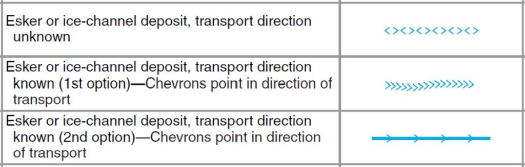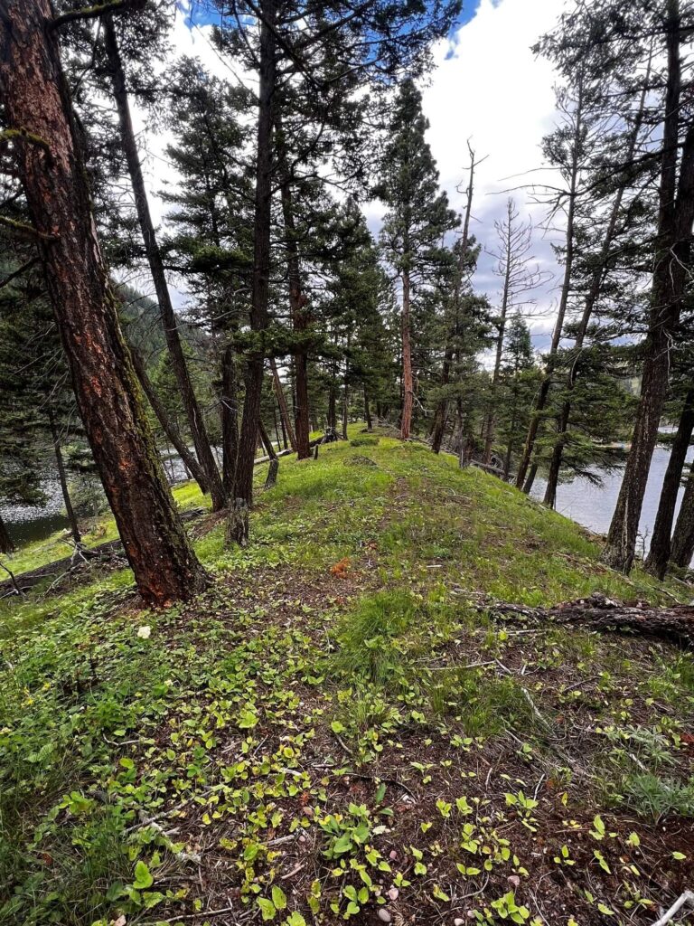
Esker Associates, LLC (Esker) is a consulting firm that helps its clients solve pressing environmental and water resources problems. Esker was established as a consulting firm in 2022 by principal scientist Adam N. Johnson.
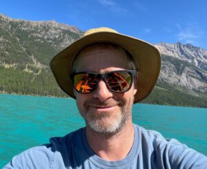 Adam received a B.A. in geology from Macalester College and a M.S. in hydrogeology from the University of Montana. He has about 20 years of diversified professional experience as a hydrogeologist and environmental scientist. As a consulting scientist since 2006, Adam specializes in assessment and remediation of contaminated properties, Brownfields sites, and water resources projects. He works frequently with American Indian and Alaska Native organizations and tribal consortia on a variety of projects.
Adam has worked in the mining, energy, government, industrial-commercial, oil and gas, and water resources sectors. Geographic areas of experience include Mexico, South America, and most of the western United States. He has authored or co-authored peer-reviewed journal articles, government documents, and numerous technical reports.
Prior to consulting, he worked for several federal agencies, including the U.S. Geological Survey, the National Park Service, and the U.S. Forest Service.